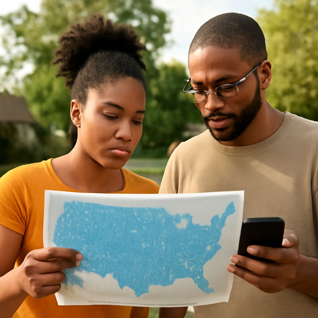
Wireless Coverage Maps: How to Compare Service Where You Need It
A carrier may advertise broad service while your calls still drop on the drive home. Maps of mobile signal coverage can narrow the choices before you switch, but the useful comparison starts with your address, your route, and a closer look at what the colors mean.
A carrier’s coverage map is a forecast of where service should be available, not a measurement inside every building. Read its legend, compare the same network types, and test your own phone in the places that matter.
Wireless Coverage Map: Start With the Right View
For a wireless coverage comparison, list your home and work addresses and the roads you regularly travel. Include places where a connection matters, such as a child’s school or a frequent rural stop. A nationwide view is useful for orientation, but it can hide small gaps along a particular road.
Open the FCC National Broadband Map and choose mobile broadband rather than fixed broadband, which describes service at a building. Search an address, zoom in, and select the providers you want to compare. The FCC’s guide explains its filters and the data date shown on the map.
Next, open each provider’s own wireless coverage map. For example, T-Mobile’s map accepts a location search, while Verizon’s map shows its network coverage. Carrier coverage maps can include different assumptions, including roaming, so note what each company says it depicts before comparing its colors with the FCC view.
Read the Legend Before the Color
Wireless coverage maps usually distinguish network technologies, such as 4G LTE and 5G, by color or layer. Read the legend on each site rather than assuming the same shade means the same thing everywhere. A map may separate types of 5G or show roaming differently from the carrier’s own network.
Use the same technology and location when comparing providers. In the FCC view, filters include 4G and different 5G speed thresholds; the available choices also distinguish outdoor stationary from in-vehicle coverage. Pick the latter for a driving route and the former for an outdoor location. The FCC’s mobile map does not show indoor coverage.
Carrier maps can also show a different service from the one you intend to buy. Mobile phone coverage and fixed home internet availability are separate questions. An area shaded for mobile service does not establish that a carrier will sell home internet at a particular address. Check the product and address separately.
Follow the Route, Not Just the Destination
Zoom out to find the full trip, then zoom in on highway segments, smaller roads, and stops. Pan along the route and mark changes in the displayed layer, especially near valleys or between towns. Compare coverage across carriers by repeating the process with comparable filters. Take notes or screenshots with the date and selected layer so the comparison remains meaningful.
Wireless coverage maps are estimates, not a promise that every call will stay connected. The FCC says providers model their reported coverage using common settings; actual results depend on the device, terrain, and network capacity. Trees, walls, building materials, and a vehicle can also change the signal reaching a phone.
Provider maps and the FCC’s view may disagree because they use different assumptions. Treat the difference as a reason to check the provider’s explanation and test that location, rather than choosing whichever image looks more complete. A mobile coverage map is a starting point for a question about a specific place. Maps of service coverage help identify where to test.
Test With Your Phone Before Committing
A real-world check adds details that a forecast cannot show. If a carrier offers a trial or a short-term plan for your compatible phone, use it to test the actual service. Check whether the trial has conditions or limits and whether your phone supports the carrier’s network before relying on the result.
At home, place calls and run a data test in the rooms where you work or spend time, then compare results outside. Try the same tasks at work and at important stops. Test at more than one time of day: network traffic can change performance. Signal bars help identify a weak spot, but a successful call and usable data reveal more about the job you need done.
For a route, have a passenger observe the phone and record problem spots; the driver should focus on the road. If the FCC view and outdoor or in-vehicle experience differ, the FCC Mobile Speed Test app can collect eligible tests for a coverage challenge. Indoor tests are useful for your own decision but do not qualify for that challenge.
Before choosing, compare the same layers for your address and route, read each legend and data date, and test calls and data on your phone in the places you use most.